

As we drove into Oregon on Day 5, I couldn't believe that it had taken us four whole days to get through California. Four of our eight vacation days. There was math in there that seemed somewhat unfavorable given the itinerary ahead, but I willfully ignored it and drove on.
This day, the first day in Oregon, was meant for exploring coastline. Miles and miles of what I assumed would be cliffside or beachside driving. Instead, one of the very first things that I learned about the Oregon coast was that most of it would be hidden from the 101 by trees lining both sides of the road.
But behind the trees, it did not disappoint.


After a fair amount of Pinteresting, I had a dozen or so scenic viewpoint stops planned for the day. We didn't end up hitting all of them (see you next time, Devil's Punchbowl!), but we made a fair dent into some of Oregon's most iconic lookout points.
First up? Natural Bridges.


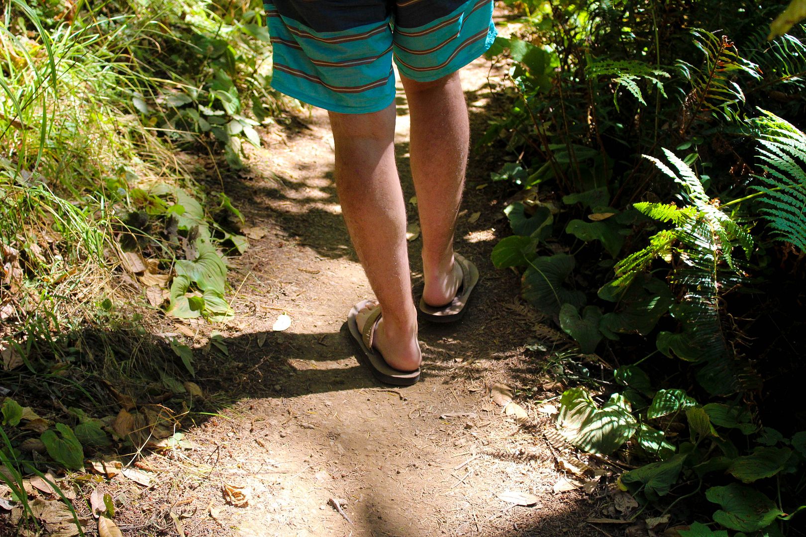
A short trail from the pullout leads you almost immediately to a viewing deck for Natural Bridges. Wanting to stretch my legs a little bit, we decided to continue on down the very narrow trail (which I later learned was actually a section of the Oregon Coast Trail) for a few more minutes to see where we'd end up.


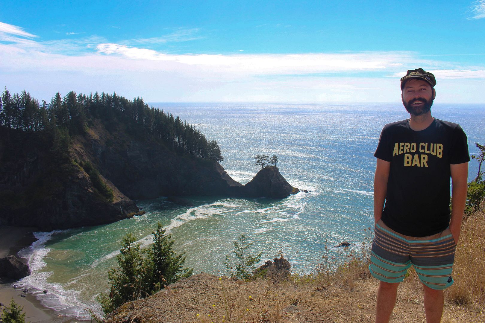
About 10 minutes or less later, we arrived at a grassy pasture a bit further down the 101. The pasture revealed the gorgeous cove pictured above, which reminded me a lot of McWay Falls in Big Sur. Hawks circled overhead, little lizards scattered along the ground and the only noises were the rushing of cars behind us and the sound of the waves crashing underneath. It was gorgeous.
Back in the car after a short walk, we drove on for a few more minutes before coming to Windy Point and the parking lot for the second Arch Rock in Oregon. This was an absolutely excellent picnic stop with tables, trails, a restroom and excellent views.


Without having packed a picnic ourselves though, there was little to do except walk around a bit, take our photos and drive on. Next stop? Bandon Beach.


When I didn't see any signs for Bandon Beach, I just assumed that this was the name of any beach bordering the city of Bandon. So eventually, I took a left down a side street and ended up in a parking lot above a gorgeous beach. Note: the sign for the beach read "Oregon Islands National Wildlife Refuge," but if you put that in your GPS, you will end up in the woods in Sixes, OR.
Instead, to get to this special stretch of coast, where miles of washed up driftwood gives way to colorful tide pools, you'll want to look for Coquille Point, the gateway to Bandon Beach.


We never actually made it to Bandon Beach proper (if I'm reading the map correctly), but this driftwood dream was all I needed for my final beach fix of the evening.
Once we got back in the car the plan was to drive for as long as we could, over bridges, past sand dunes and through the fog until we reached Rogue Brewery in Newport.


Only we didn't make it that far.
Having eaten very little that day and having not seen as many options for food as one would have hoped to see along the way, we decided to stop for dinner as soon as we got to the little town of Yachats. We settled on a nice restaurant called Ona, where we splurged on some Chicken Piccata for me and some tomato soup and grilled cheese for Ryan, along with couple of local Oregon brews.


Feeling pretty sleepy after dinner, I didn't really want to drive the 30 minutes north to Newport to try to get a room at the Rogue Bed & Beer, where I had been hoping to stay after stopping first at the brewery. I couldn't get a hold of anyone at the B&B, so I wasn't sure if rooms were available or not and I didn't know where else we'd stay if they weren't.
I decided not to risk it and instead backtracked the 15 minutes or so to Rock Creek Campgrounds in the Siuslaw National Forrest, a 14-site campground on a creek with a trail leading out to the beach. We'd heard about this campground from our OB neighbor, Heather, who we had run into a few days earlier in Big Sur.
Banking on her high praise of this campground, I drove back down the 101 in the dark, paid our $25 camping fee via envelope at the camp's entrance, and drove into the first spot we saw that wasn't reserved: Site 10. It was pitch black and raining as we fell asleep, so I passed out without having any idea what was around me.
The next morning, I woke up in a lush riverside forrest, with a cute little path next to the car that led to our main camping area: a secluded picnic table and firepit on the creek.


Before we headed out on the next leg of the trip, we had one final coastline trail to venture down: the Captain Cook Trail at Cape Perpetua.
This is the site of Thor's Well, a cool rock formation that has the effect of looking as though it's draining the sea. Ryan had found this one online before we left and it was one of the few things he had suggested we check out on the trip, so I was pretty hell bent on finding it for him.


After a short, foggy walk down the trail and past the Spouting Horn, I wandered up and down the tide pools for about 20 minutes in search of Thor's Well before consulting a photographer who was out there taking pictures of the fog.
He informed us that we had passed it and then pointed in the direction of a fairly dry hole in the rocks near where we had first walked in. As he explained, Thor's Well only looks cool in high tide, which we were unfortunately a few hours too early for.


One defeated walk back to the car later, I drove off in search of breakfast, the remaining Oregon coastline, and cheese.
One day, Thor's Well. One day.